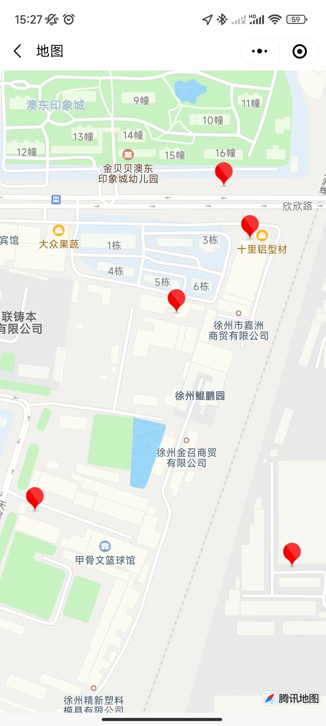
1
2
3
4
5
6
7
8
9
10
11
12
13
14
15
16
17
18
19
20
21
22
23
24
25
26
27
28
29
30
31
32
33
34
35
36
37
38
39
40
41
42
43
44
45
46
47
48
49
50
51
52
53
54
55
56
57
58
59
60
61
62
63
64
| const app = getApp()
const { getMarkers } = require('@/utils/api')
Page({
data: {
currLoca: {},
markers: [],
},
init() {
this.setData({
currLoca: app.globalData.location,
})
wx.createMapContext('map').moveToLocation(this.data.currLoca)
this.getMapMarkers()
},
async getMapMarkers() {
wx.showLoading({
title: '加载中',
})
let that = this
let markarr = []
const userInfo = app.globalData.userInfo
let data = {
phone: userInfo.phonenumber,
userId: userInfo.userId,
token: userInfo.token,
}
const res = await getMarkers(data)
res.forEach((it, index) => {
let markObj = {
id: index,
latitude: it.lat,
longitude: it.lng,
iconPath: '../../images/box.png',
width: '72rpx',
height: '52rpx',
zIndex: index + 1,
}
markarr.push(markObj)
})
this.setData({
markers: markarr,
})
wx.hideLoading()
},
markertap(e) {
console.log('=markertap=', e)
},
bindregionchange(e) {
console.log('=bindregiοnchange=', e)
},
bindtapMap(e) {
console.log('=bindtapMap=', e)
}
onLoad(options) {
this.init()
},
})
|


